
Spatial digital twin puts remote mine teams in the driver’s seat with live data views faster fixes and smarter decisions from pit to planning room

, , , , , , , , ,
,
As mining companies increasingly operate from hundreds, sometimes thousands, of kilometres away from the pit or plant, one challenge has remained constant – how to give remote teams the same operational context, detail, and situational awareness they’d have if they were standing on site.
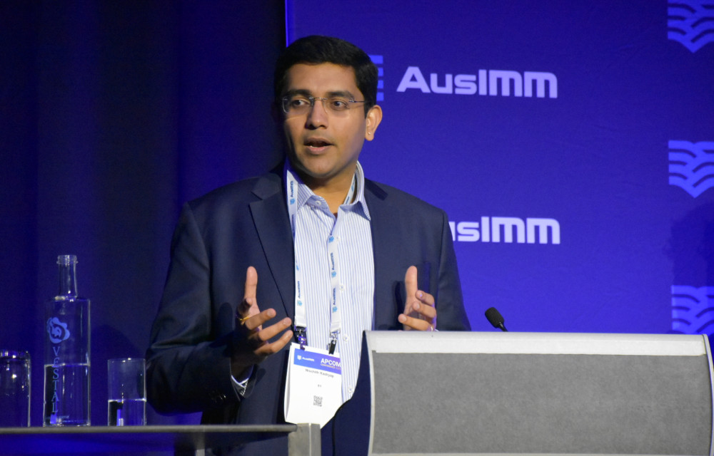
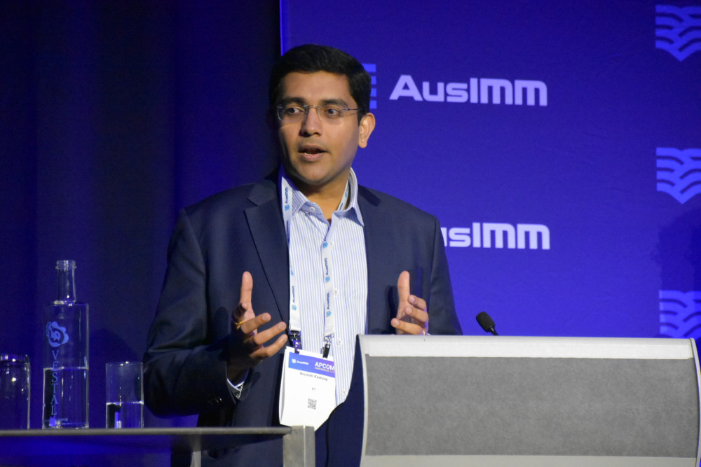
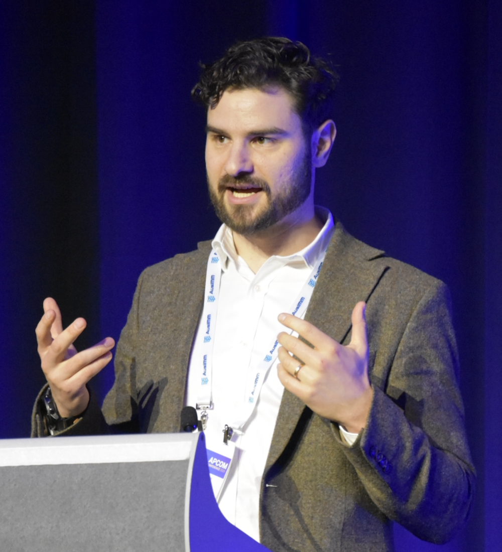
For Paddy Muston, data scientist at EY, and Nisch Kashyap, EY’s global lead for Digital Mine, the answer lies in a technology that unites disparate data streams and renders them in a highly immersive, interactive, and actionable way: the Spatial Digital Twin.
Speaking together at AusIMM’s APCOM2025 in Perth, Paddy and Nisch explained how the spatial digital twin (SDT) is transforming the way planners, engineers, and operators interact with mine data. Rather than a static 3D model or an occasional snapshot, the SDT creates a living, breathing digital representation of the mine site – one that combines operational IoT feeds, enterprise records, and spatial/video data in a single environment.
“It’s about solving for the right problems with the right digital tools,” Nisch said. “Too often, digital projects get stuck in the rabbit hole of chasing technology without a clear business alignment. We built our approach to be technology-agnostic – focused first on understanding the problem, then on applying solutions that deliver value quickly.”
From data silos to an integrated view
The challenge, as Nisch explained, is not that mining companies lack data. In fact, most sites have more than they can effectively use – from equipment telemetry and production metrics to environmental monitoring, safety reports, and geospatial imagery. The issue is integration.
EY’s Digital Mine program started with extensive discussions across mining C-suites and digital leaders globally. The feedback was consistent: while data was abundant, it was scattered in disconnected systems, hard to access in the right format, and often delayed. That fragmentation hindered operational decision-making and slowed digital transformation.
“Our clients were telling us the same three things,” Nisch said. “One – we need the right data in the right place at the right time. Two – we want to be sure we’re solving the right problems before we commit major investment. And three – we need to see real return on digital transformation, not just spend for spend’s sake.”
From that starting point, EY developed an industrial intelligence platform designed to unify three patterns of data:
- Enterprise data from systems like ERP, asset management, and safety reporting tools.
- Operational technology (OT) data, including sensor feeds, SCADA, and telemetry.
- Spatial and visual data, such as satellite imagery, drone footage, and CCTV.
The spatial digital twin sits on top of this foundation. It renders the integrated datasets in a navigable 3D environment, allowing users to “walk” through a site virtually, click on equipment or infrastructure, and instantly see the operational, maintenance, and spatial context.
Why remote operations demand a new approach
For Paddy, the value of the SDT is most apparent when you look at the realities of remote operation centres (ROCs).
“Mining’s move to remote operations has delivered major benefits,” Paddy said. “We’ve reduced travel to site, improved safety by keeping people out of hazardous environments, and tapped into a broader talent pool who can work from anywhere. But there are challenges too.”
These challenges include:
- Hybridised workflows – processes designed for on-site execution now have to work both remotely and locally.
- Loss of operational context – remote teams can’t see the subtle details of the site that influence decisions.
- Non-standard artefacts – equipment modifications or layout changes might be obvious on site but invisible in a spreadsheet or static map.
Paddy illustrated this with a real example from an asset management workflow. A remote planner, working from Perth, had to instruct a maintainer on site to access a piece of equipment in a valley. Looking only at a 2D top-down map, the planner gave a direct walking route – one that would have required stepping off a cliff.
“That’s not a planning error you make if you’re standing there,” Paddy said. “But without spatial context, it’s easy to miss.”
A better way to manage maintenance
In their presentation, Paddy and Nisch walked through a detailed scenario showing how the SDT changes the game for maintenance planning.
In the “before” scenario:
- A maintenance ticket is raised.
- The remote planner reviews it but lacks context to prioritise correctly.
- Instructions are issued that either don’t work or require clarification.
- The issue escalates because of delays.
- Additional work gets pushed to later shifts, increasing the site’s maintenance debt.
- Asset reliability and forecasting suffer, creating a cycle of reactive maintenance.
In the “after” scenario, with the SDT in place:
- The planner opens the ticket and immediately sees the asset in its spatial context, including terrain, access points, and surrounding infrastructure.
- Real-time IoT data and maintenance history are overlaid directly on the visual model.
- The planner spots a similar job nearby and groups it with the first task, optimising the maintainer’s trip.
- Work is completed before escalation, reducing maintenance debt.
- Asset reliability improves, forecasts become more accurate, and the team shifts toward proactive management.
“It’s not just about faster diagnosis,” Paddy said. “It’s about optimising resources and sequencing work in a way that wasn’t practical before. The SDT gives you the confidence to make those decisions.”
Bringing all the data into one environment
One of the key strengths of the SDT is its ability to make non-spatial data spatial. For example, a pothole detected by AI-powered video analytics on a haul truck can be tied to a maintenance record in the ERP system, flagged on the relevant haul road segment in the 3D model, and linked to upcoming traffic plans.
From a single interface, the planner can see:
- The location and severity of the defect.
- Scheduled maintenance and expected downtime for that section.
- Alternative routes and their impact on haul cycle times.
“That’s the power of integrating enterprise, OT, and spatial data,” Nisch said. “You don’t have to jump between five systems and a set of PDFs – it’s all right there in the context of the operation.”
Next best action and simulation capabilities
Beyond visualisation, the SDT can host AI models that recommend next best actions. These models consider the current state of the operation and project it forward – whether that’s one hour or two days – to suggest optimal interventions.
Nisch noted that the next evolution of the SDT will focus heavily on simulation and what-if analysis. “We’re adding engines that can test scenarios before you commit resources. If you want to know how a change to the haul road will affect your production schedule, you can model it in the twin first.”
Deployment speed and scalability
EY’s approach to the SDT is deliberately modular and tech-agnostic. Companies can connect their existing tools and datasets rather than replacing entire systems.
This flexibility means the SDT can be deployed quickly – often in under three months – compared to the 12–18 months typical for large-scale digital projects.
“Our aim is to give clients a starting point they can scale,” Nisch said. “We’ve built a marketplace of proven use cases – over 60 so far – that can be adapted and rolled out depending on the site’s needs.”
Use case framework
Paddy closed by sharing EY’s framework for thinking about SDT use cases. Two key dimensions are:
- Scope – from an individual asset to an integrated system across the operation.
- Timeframe – from simulated (high-volume, cloud-based compute) to real-time (low-latency, edge-enabled).
Where a use case falls on this grid informs the technology stack, user interface, and data integration requirements.
“An SDT isn’t one thing – it’s an ecosystem,” Paddy said. “What matters is designing it around the operational decisions you want to improve.”
From proof of concept to operational muscle
For both presenters, the spatial digital twin is more than a visualisation tool. It’s a way to embed operational intelligence into daily decision-making, closing the gap between data and action.
“The combination of AI, cloud, and human judgement is what delivers value,” Nisch said. “The technology makes recommendations, but people stay in control – with the full context they need to make better, faster calls.”
Paddy agreed, adding that the technology’s adoption is driven as much by its usability as by its capability. “If planners and engineers can get what they need in a couple of clicks, they’ll use it. And when they use it, it becomes part of the operating rhythm – not just a nice-to-have.”
For mining companies grappling with the complexities of remote operations, asset reliability, and integrated planning, the spatial digital twin offers a practical path forward. It’s a bridge between the site and the ROC, between siloed datasets and unified decision-making, and between reactive firefighting and proactive operational excellence.